Latitude: 54.2412 / 54°14'28"N
Longitude: -0.4165 / 0°24'59"W
OS Eastings: 503290
OS Northings: 483996
OS Grid: TA032839
Mapcode National: GBR TMJD.MD
Mapcode Global: WHGC6.KNVG
Pluscode: 9C6X6HRM+F9
What3Words: ballparks.picturing.informer
Is the location marker in the wrong place? You can help fix that!
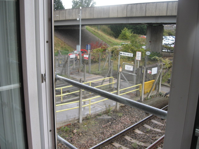
We don't yet have any user-contributed photos of Seamer Station Level Crossing.