Latitude: 56.3793 / 56°22'45"N
Longitude: -3.3569 / 3°21'24"W
OS Eastings: 316303
OS Northings: 721605
OS Grid: NO163216
Mapcode National: GBR 22.21SC
Mapcode Global: WH6QD.DXQF
Pluscode: 9C8R9JHV+P6
What3Words: skate.intervene.argue
Is the location marker in the wrong place? You can help fix that!
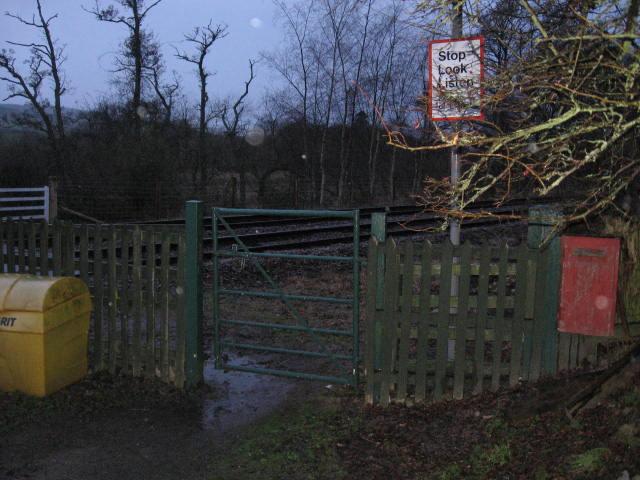
We don't yet have any user-contributed photos of Seggieden West Level Crossing.