Latitude: 56.3608 / 56°21'39"N
Longitude: -2.9193 / 2°55'9"W
OS Eastings: 343296
OS Northings: 719103
OS Grid: NO432191
Mapcode National: GBR 2L.3B28
Mapcode Global: WH7RY.4D31
Pluscode: 9C8V936J+87
What3Words: steered.awards.defectors
Is the location marker in the wrong place? You can help fix that!
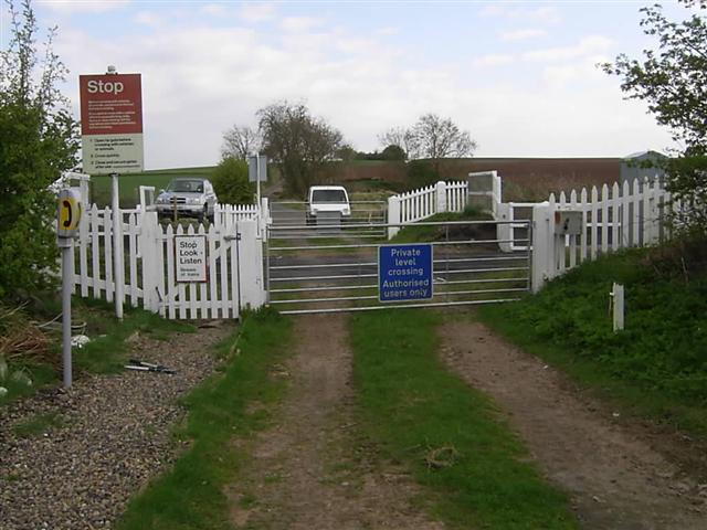
We don't yet have any user-contributed photos of Seggiehill Level Crossing.