Latitude: 51.0431 / 51°2'35"N
Longitude: -2.163 / 2°9'46"W
OS Eastings: 388670
OS Northings: 127091
OS Grid: ST886270
Mapcode National: GBR 1X4.KYB
Mapcode Global: FRA 66CC.754
Pluscode: 9C3V2RVP+6R
What3Words: stint.blackbird.liquids
Is the location marker in the wrong place? You can help fix that!
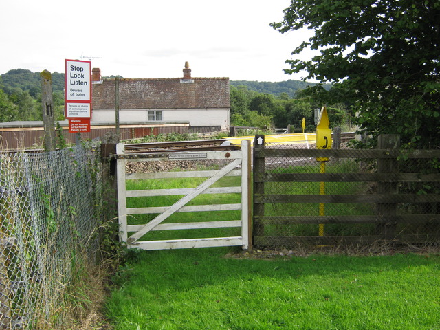
We don't yet have any user-contributed photos of Semley Gates Level Crossing.