Latitude: 54.0996 / 54°5'58"N
Longitude: -0.1738 / 0°10'25"W
OS Eastings: 519515
OS Northings: 468615
OS Grid: TA195686
Mapcode National: GBR WP71.55
Mapcode Global: WHHF7.97H1
Pluscode: 9C6X3RXG+RF
What3Words: maple.vets.insect
Is the location marker in the wrong place? You can help fix that!
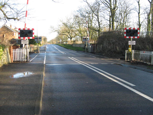
We don't yet have any user-contributed photos of Sewerby Level Crossing.