Latitude: 51.6174 / 51°37'2"N
Longitude: -2.6658 / 2°39'57"W
OS Eastings: 353996
OS Northings: 191161
OS Grid: ST539911
Mapcode National: GBR JM.9B53
Mapcode Global: VH87T.RL1Z
Pluscode: 9C3VJ88M+XM
What3Words: shampoo.blunt.minivans
Is the location marker in the wrong place? You can help fix that!
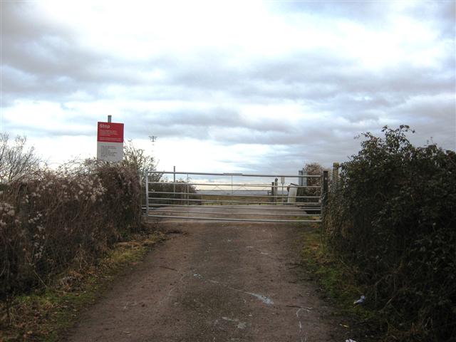
We don't yet have any user-contributed photos of Sharpes Level Crossing.