Latitude: 52.1033 / 52°6'12"N
Longitude: -1.8436 / 1°50'36"W
OS Eastings: 410810
OS Northings: 245012
OS Grid: SP108450
Mapcode National: GBR 3LG.2QH
Mapcode Global: VHB0W.0D7F
Pluscode: 9C4W4534+8H
What3Words: proved.limiting.windows
Is the location marker in the wrong place? You can help fix that!
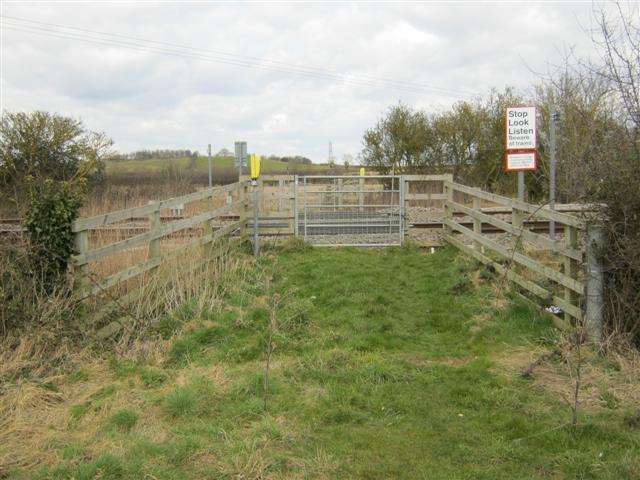
We don't yet have any user-contributed photos of Sheen Hill 1 Level Crossing.