Latitude: 53.6646 / 53°39'52"N
Longitude: -0.2469 / 0°14'48"W
OS Eastings: 515933
OS Northings: 420103
OS Grid: TA159201
Mapcode National: GBR VVQ2.B2
Mapcode Global: WHHHB.55P0
Pluscode: 9C5XMQ73+R7
What3Words: factored.bookcases.slanting
Is the location marker in the wrong place? You can help fix that!
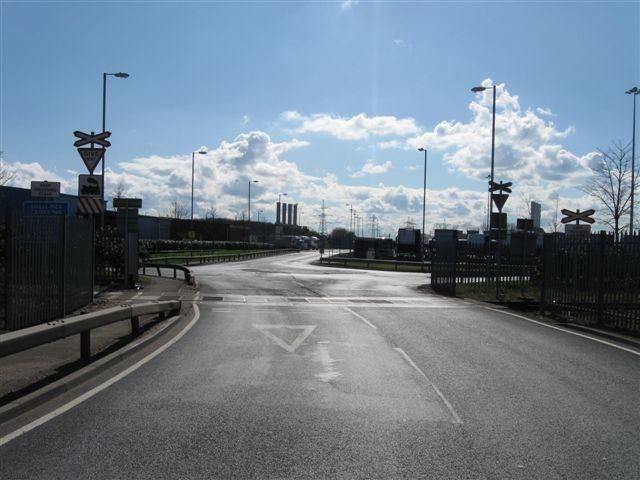
We don't yet have any user-contributed photos of Shell Mex Level Crossing.