Latitude: 51.2989 / 51°17'56"N
Longitude: -0.1805 / 0°10'49"W
OS Eastings: 526946
OS Northings: 157101
OS Grid: TQ269571
Mapcode National: GBR DJ.TDT
Mapcode Global: VHGRX.TMF4
Pluscode: 9C3X7RX9+HR
What3Words: dirt.vast.curl
Is the location marker in the wrong place? You can help fix that!
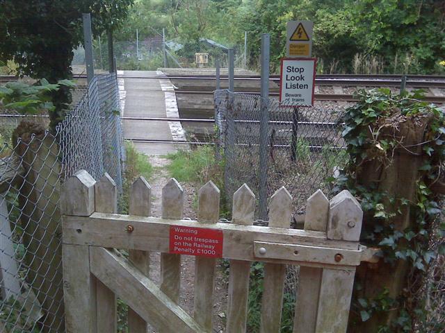
We don't yet have any user-contributed photos of Sherwells Level Crossing.