Latitude: 52.1042 / 52°6'15"N
Longitude: -1.9601 / 1°57'36"W
OS Eastings: 402828
OS Northings: 245096
OS Grid: SP028450
Mapcode National: GBR 3L9.37Y
Mapcode Global: VHB0S.ZC4S
Pluscode: 9C4W423Q+MX
What3Words: hillsides.clusters.straddled
Is the location marker in the wrong place? You can help fix that!
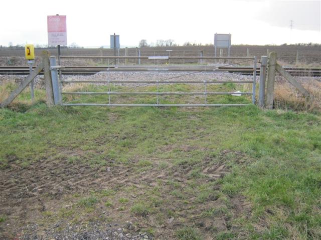
We don't yet have any user-contributed photos of Ships Level Crossing.