Latitude: 50.8336 / 50°50'0"N
Longitude: -0.2648 / 0°15'53"W
OS Eastings: 522288
OS Northings: 105219
OS Grid: TQ222052
Mapcode National: GBR HMF.RVR
Mapcode Global: FRA B6BW.NNR
Pluscode: 9C2XRPMP+C3
What3Words: imagined.food.repelled
Is the location marker in the wrong place? You can help fix that!
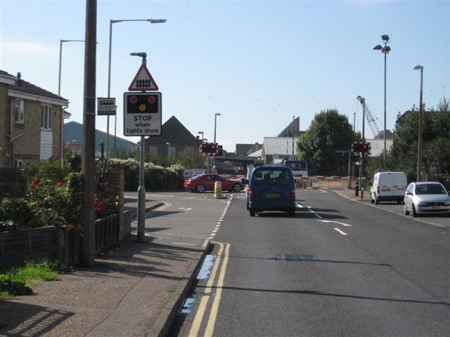
We don't yet have any user-contributed photos of Shoreham East Level Crossing.