Latitude: 54.2259 / 54°13'33"N
Longitude: -3.3343 / 3°20'3"W
OS Eastings: 313107
OS Northings: 481949
OS Grid: SD131819
Mapcode National: GBR 5M4K.XX
Mapcode Global: WH721.R1FQ
Pluscode: 9C6R6MG8+87
What3Words: havens.irony.cleansed
Is the location marker in the wrong place? You can help fix that!
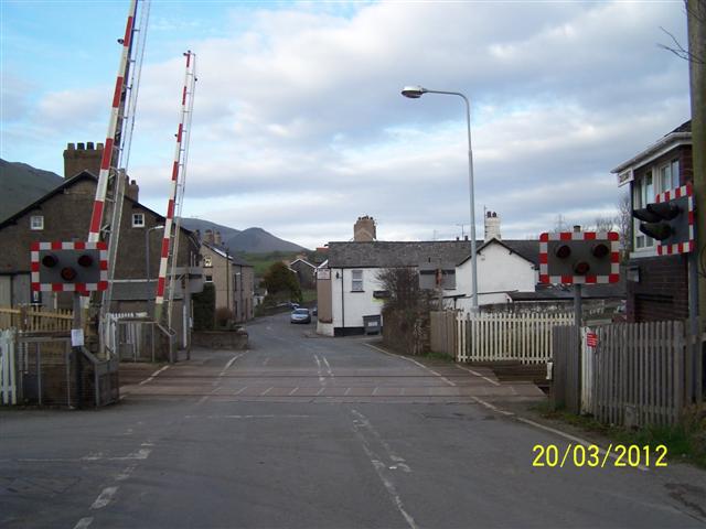
We don't yet have any user-contributed photos of Silecroft Level Crossing.