Latitude: 51.3728 / 51°22'22"N
Longitude: 1.2442 / 1°14'39"E
OS Eastings: 625888
OS Northings: 168748
OS Grid: TR258687
Mapcode National: GBR VYG.WXX
Mapcode Global: VHLG4.JR3G
Pluscode: 9F3396FV+4M
What3Words: wonderful.broken.captures
Is the location marker in the wrong place? You can help fix that!
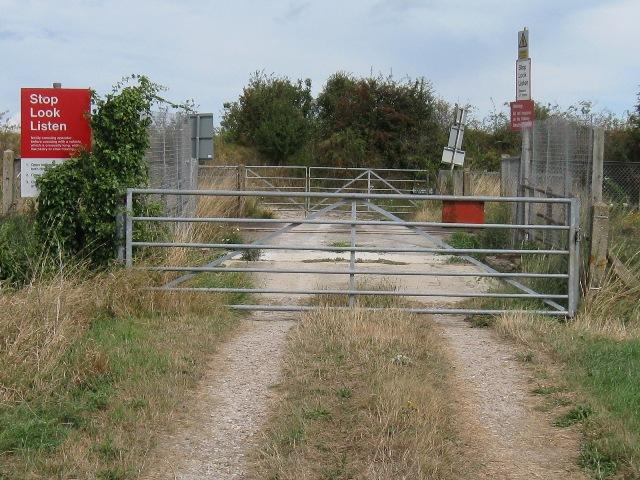
We don't yet have any user-contributed photos of Simmonds Level Crossing.