Latitude: 50.9385 / 50°56'18"N
Longitude: -0.0927 / 0°5'33"W
OS Eastings: 534106
OS Northings: 117179
OS Grid: TQ341171
Mapcode National: GBR KP5.1DK
Mapcode Global: FRA B6PM.HQR
Pluscode: 9C2XWWQ4+9W
What3Words: untruth.mole.tedious
Is the location marker in the wrong place? You can help fix that!
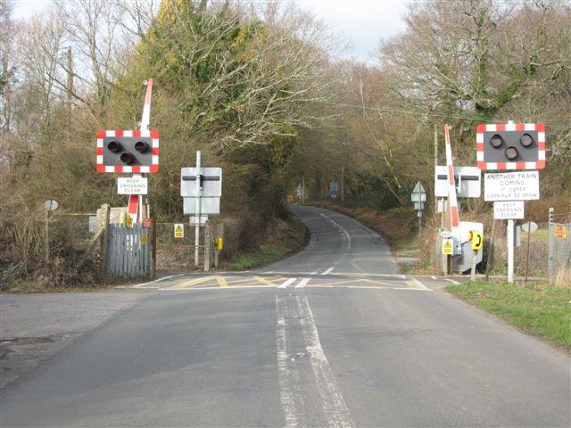
We don't yet have any user-contributed photos of Spatham Lane Level Crossing.