Latitude: 50.3647 / 50°21'52"N
Longitude: -4.7144 / 4°42'51"W
OS Eastings: 207043
OS Northings: 55165
OS Grid: SX070551
Mapcode National: GBR N3.VDT9
Mapcode Global: FRA 1802.H5B
Pluscode: 9C2Q977P+V6
What3Words: photocopy.firebird.dorms
Is the location marker in the wrong place? You can help fix that!
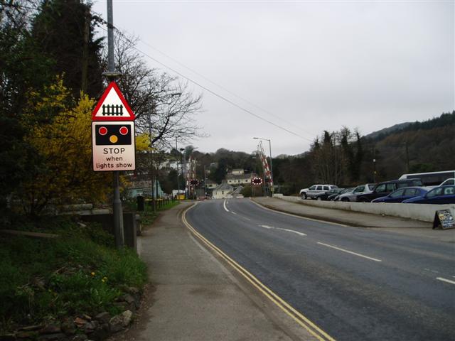
We don't yet have any user-contributed photos of St. Blazey Bridge Level Crossing.