Latitude: 51.8281 / 51°49'41"N
Longitude: -4.4932 / 4°29'35"W
OS Eastings: 228287
OS Northings: 217330
OS Grid: SN282173
Mapcode National: GBR D6.W43C
Mapcode Global: VH3LL.29GW
Pluscode: 9C3QRGH4+7P
What3Words: motored.sport.types
Is the location marker in the wrong place? You can help fix that!
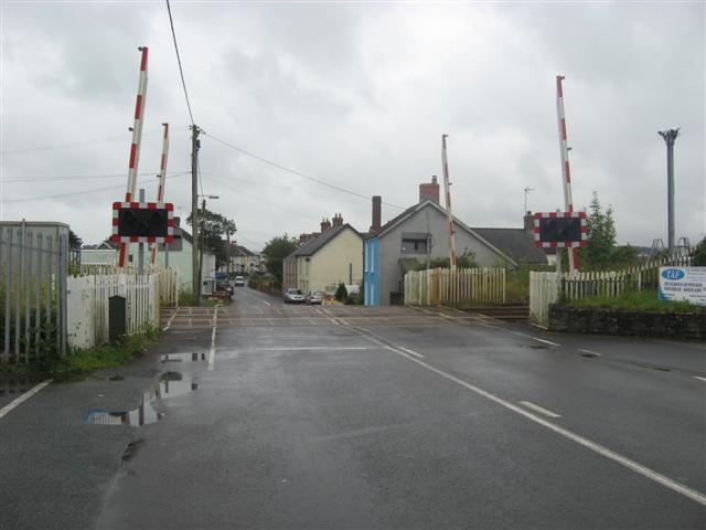
We don't yet have any user-contributed photos of St. Clears Level Crossing.