Latitude: 51.2827 / 51°16'57"N
Longitude: 1.0734 / 1°4'24"E
OS Eastings: 614425
OS Northings: 158210
OS Grid: TR144582
Mapcode National: GBR TY2.G67
Mapcode Global: VHLGM.K1B1
Pluscode: 9F3373MF+39
What3Words: guitar.format.calm
Is the location marker in the wrong place? You can help fix that!
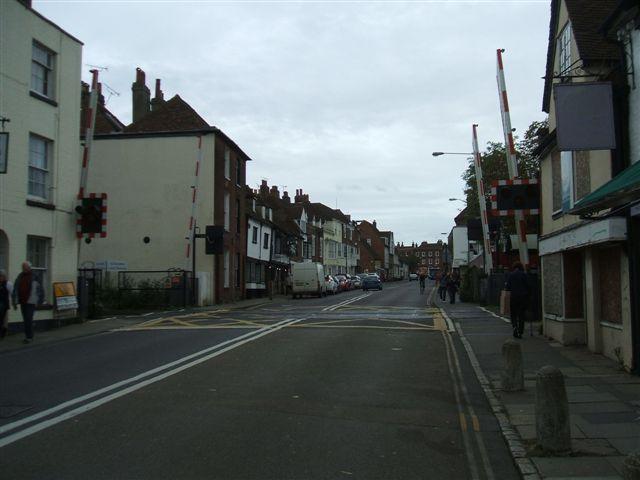
We don't yet have any user-contributed photos of St Dunstans Level Crossing.