Latitude: 51.2882 / 51°17'17"N
Longitude: 1.0806 / 1°4'50"E
OS Eastings: 614902
OS Northings: 158853
OS Grid: TR149588
Mapcode National: GBR TY2.40Z
Mapcode Global: VHLGF.PW49
Pluscode: 9F3373QJ+76
What3Words: fields.locked.cans
Is the location marker in the wrong place? You can help fix that!
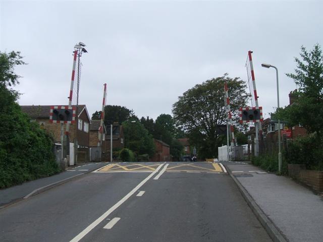
We don't yet have any user-contributed photos of St Stephens Level Crossing.