Latitude: 51.4119 / 51°24'42"N
Longitude: -1.5417 / 1°32'30"W
OS Eastings: 431968
OS Northings: 168202
OS Grid: SU319682
Mapcode National: GBR 705.F18
Mapcode Global: VHC1S.7R9Z
Pluscode: 9C3WCF65+Q8
What3Words: victor.towns.tightrope
Is the location marker in the wrong place? You can help fix that!
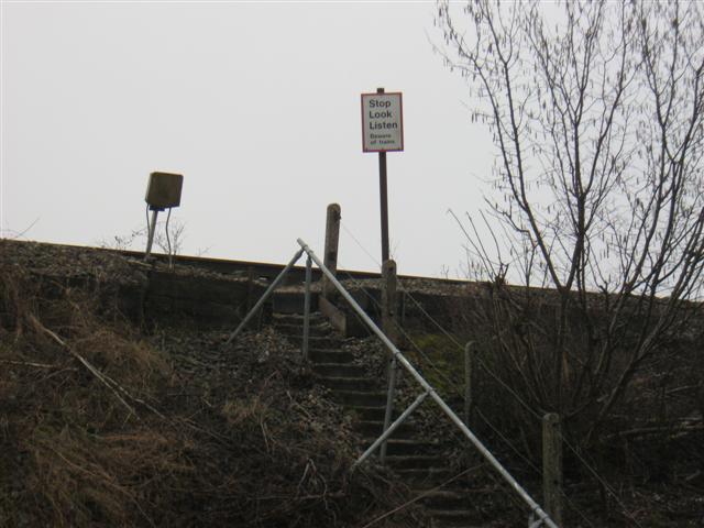
We don't yet have any user-contributed photos of Standers Level Crossing.