Latitude: 52.813 / 52°48'46"N
Longitude: -2.8748 / 2°52'29"W
OS Eastings: 341136
OS Northings: 324303
OS Grid: SJ411243
Mapcode National: GBR 7B.VXWF
Mapcode Global: WH8B5.TK79
Pluscode: 9C4VR47G+63
What3Words: stitching.emporium.delays
Is the location marker in the wrong place? You can help fix that!
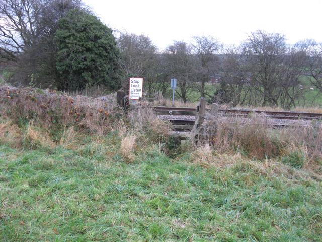
We don't yet have any user-contributed photos of Stanwardine 1 Level Crossing.