Latitude: 52.9716 / 52°58'17"N
Longitude: -1.0656 / 1°3'56"W
OS Eastings: 462846
OS Northings: 341992
OS Grid: SK628419
Mapcode National: GBR 9JT.MDQ
Mapcode Global: WHFHY.LKSR
Pluscode: 9C4WXWCM+JQ
What3Words: items.start.liver
Is the location marker in the wrong place? You can help fix that!
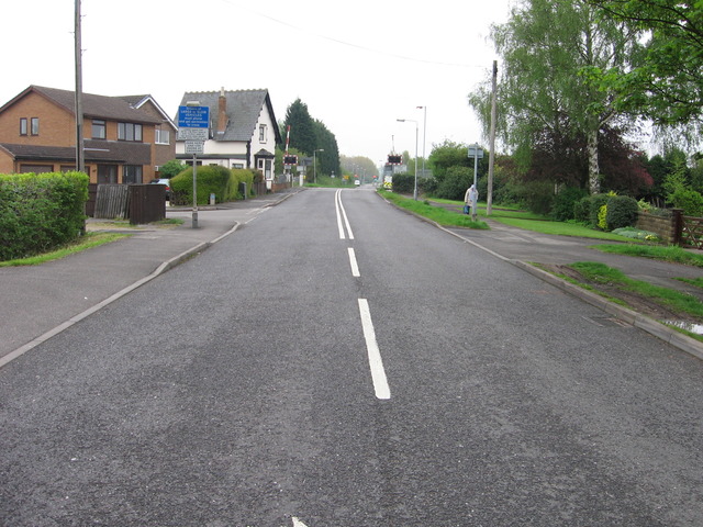
We don't yet have any user-contributed photos of Stoke Lane Level Crossing.