Latitude: 51.7841 / 51°47'2"N
Longitude: -0.8097 / 0°48'35"W
OS Eastings: 482201
OS Northings: 210166
OS Grid: SP822101
Mapcode National: GBR D3B.03V
Mapcode Global: VHDVB.XF84
Pluscode: 9C3XQ5MR+M4
What3Words: inspected.easily.barks
Is the location marker in the wrong place? You can help fix that!
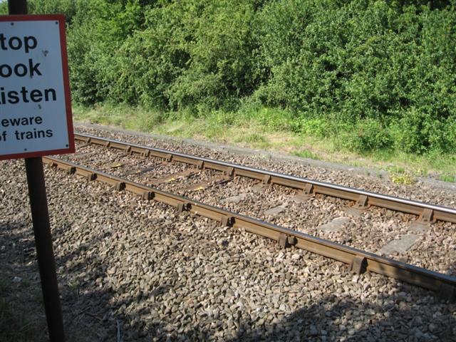
We don't yet have any user-contributed photos of Stoke Mandeville No.4 Level Crossing.