Latitude: 51.7558 / 51°45'20"N
Longitude: -2.2892 / 2°17'20"W
OS Eastings: 380137
OS Northings: 206383
OS Grid: SO801063
Mapcode National: GBR 0KY.XRS
Mapcode Global: VH94X.84PB
Pluscode: 9C3VQP46+88
What3Words: dragging.sensibly.sling
Is the location marker in the wrong place? You can help fix that!
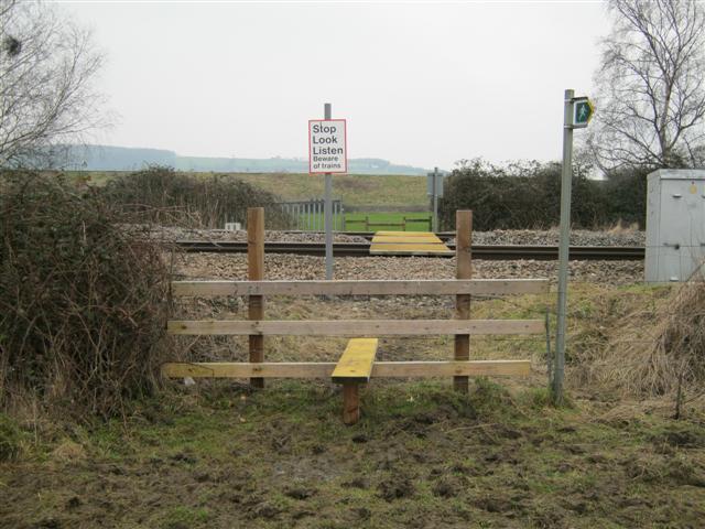
We don't yet have any user-contributed photos of Stonehouse 2 Level Crossing.