Latitude: 51.7422 / 51°44'31"N
Longitude: -2.2607 / 2°15'38"W
OS Eastings: 382098
OS Northings: 204863
OS Grid: SO820048
Mapcode National: GBR 0L5.R8H
Mapcode Global: VH94X.RGRS
Pluscode: 9C3VPPRQ+VP
What3Words: detonated.judge.outlast
Is the location marker in the wrong place? You can help fix that!
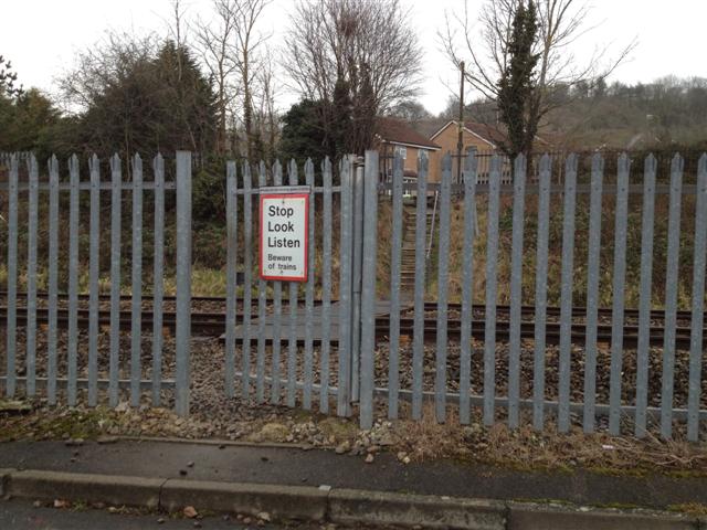
We don't yet have any user-contributed photos of Stonehouse 26 Level Crossing.