Latitude: 51.5222 / 51°31'19"N
Longitude: -3.6519 / 3°39'6"W
OS Eastings: 285486
OS Northings: 181656
OS Grid: SS854816
Mapcode National: GBR H9.H841
Mapcode Global: VH5H9.NZ7Z
Pluscode: 9C3RG8CX+V6
What3Words: hillside.laughs.fruit
Is the location marker in the wrong place? You can help fix that!
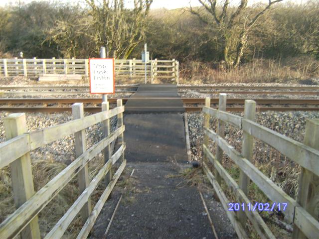
We don't yet have any user-contributed photos of Stormy Level Crossing.