Latitude: 53.6479 / 53°38'52"N
Longitude: -0.319 / 0°19'8"W
OS Eastings: 511213
OS Northings: 418139
OS Grid: TA112181
Mapcode National: GBR VV68.R1
Mapcode Global: WHHH9.2KCS
Pluscode: 9C5XJMXJ+5C
What3Words: forklift.womanly.cope
Is the location marker in the wrong place? You can help fix that!
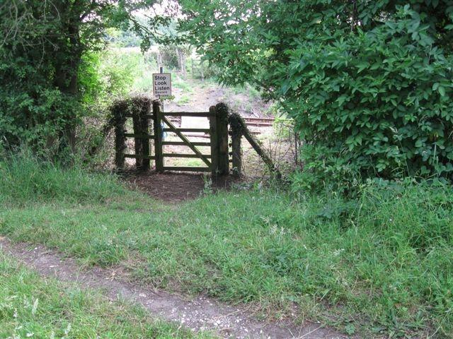
We don't yet have any user-contributed photos of Stothards Level Crossing.