Latitude: 53.3653 / 53°21'55"N
Longitude: -2.014 / 2°0'50"W
OS Eastings: 399164
OS Northings: 385380
OS Grid: SJ991853
Mapcode National: GBR GYCJ.RC
Mapcode Global: WHBB5.1N7Y
Pluscode: 9C5V9X8P+49
What3Words: castle.flattens.decimal
Is the location marker in the wrong place? You can help fix that!
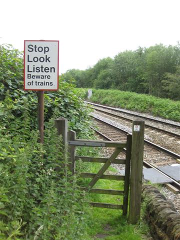
We don't yet have any user-contributed photos of Strines Road Level Crossing.