Latitude: 51.4092 / 51°24'33"N
Longitude: -0.5607 / 0°33'38"W
OS Eastings: 500197
OS Northings: 168781
OS Grid: TQ001687
Mapcode National: GBR F9F.P14
Mapcode Global: VHFTP.7VD2
Pluscode: 9C3XCC5Q+MP
What3Words: visits.darker.phones
Is the location marker in the wrong place? You can help fix that!
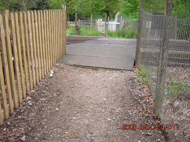
We don't yet have any user-contributed photos of Stroude Level Crossing.