Latitude: 51.3018 / 51°18'6"N
Longitude: 1.1268 / 1°7'36"E
OS Eastings: 618060
OS Northings: 160493
OS Grid: TR180604
Mapcode National: GBR TXY.9PK
Mapcode Global: VHLGG.HJ2X
Pluscode: 9F33842G+PP
What3Words: pacifist.shredder.haggling
Is the location marker in the wrong place? You can help fix that!
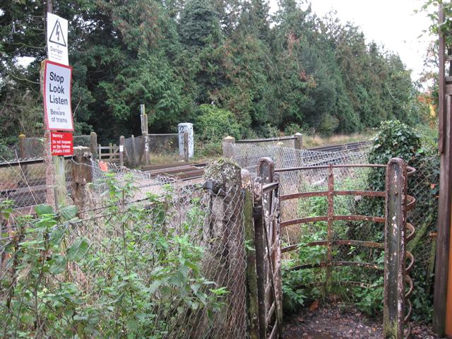
We don't yet have any user-contributed photos of Sturry Level Crossing.