Latitude: 51.1433 / 51°8'35"N
Longitude: -0.3344 / 0°20'3"W
OS Eastings: 516611
OS Northings: 139539
OS Grid: TQ166395
Mapcode National: GBR HHP.693
Mapcode Global: VHGSM.5J2F
Pluscode: 9C3X4MV8+86
What3Words: guideline.passions.blacken
Is the location marker in the wrong place? You can help fix that!
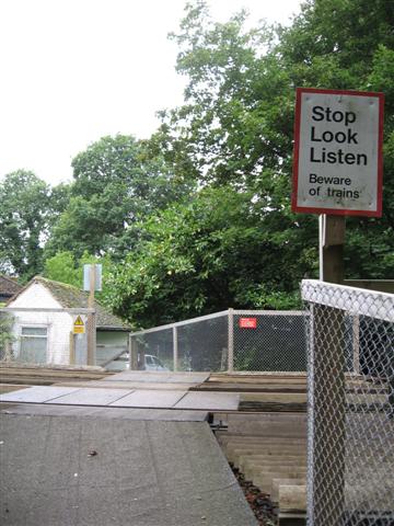
We don't yet have any user-contributed photos of Stylehurst Level Crossing.