Latitude: 53.2807 / 53°16'50"N
Longitude: -2.4069 / 2°24'24"W
OS Eastings: 372967
OS Northings: 376044
OS Grid: SJ729760
Mapcode National: GBR CZMH.QP
Mapcode Global: WH997.0S4T
Pluscode: 9C5V7HJV+76
What3Words: reclined.verbs.unsecured
Is the location marker in the wrong place? You can help fix that!
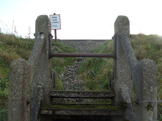
We don't yet have any user-contributed photos of Sudlow Lane Level Crossing.