Latitude: 53.3385 / 53°20'18"N
Longitude: -2.3351 / 2°20'6"W
OS Eastings: 377781
OS Northings: 382456
OS Grid: SJ777824
Mapcode National: GBR DY4T.7Y
Mapcode Global: WH992.3B9Y
Pluscode: 9C5V8MQ7+CW
What3Words: bend.apple.detail
Is the location marker in the wrong place? You can help fix that!
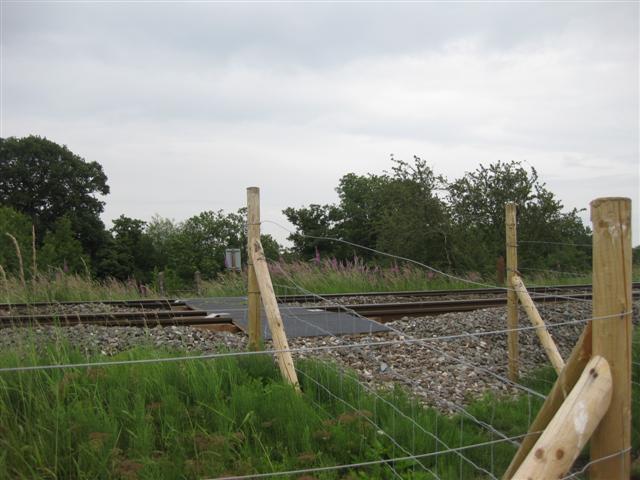
We don't yet have any user-contributed photos of Sugar Brook Level Crossing.