Latitude: 51.6617 / 51°39'42"N
Longitude: -4.804 / 4°48'14"W
OS Eastings: 206166
OS Northings: 199602
OS Grid: SS061996
Mapcode National: GBR GC.B6TZ
Mapcode Global: VH2PQ.PH6H
Pluscode: 9C3QM56W+MC
What3Words: yield.certified.padlock
Is the location marker in the wrong place? You can help fix that!
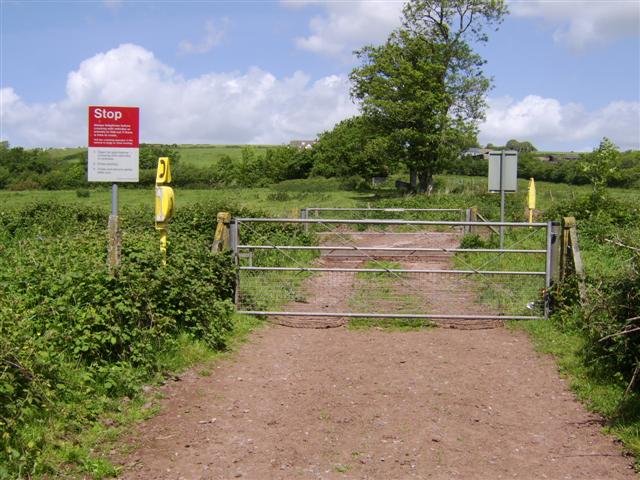
We don't yet have any user-contributed photos of Sunny Hill Farm 5 Level Crossing.