Latitude: 51.218 / 51°13'4"N
Longitude: 0.0046 / 0°0'16"E
OS Eastings: 540094
OS Northings: 148438
OS Grid: TQ400484
Mapcode National: GBR KKT.FZN
Mapcode Global: VHHPW.1N85
Pluscode: 9F326293+5R
What3Words: shunts.heavy.port
Is the location marker in the wrong place? You can help fix that!
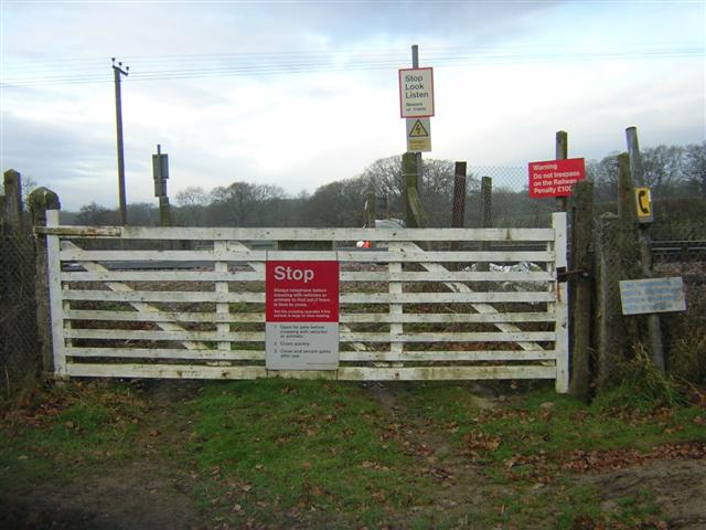
We don't yet have any user-contributed photos of Sunt No.1 Level Crossing.