Latitude: 51.0187 / 51°1'7"N
Longitude: -2.5672 / 2°34'1"W
OS Eastings: 360312
OS Northings: 124527
OS Grid: ST603245
Mapcode National: GBR MR.J5DP
Mapcode Global: FRA 56HF.CP2
Pluscode: 9C3V2C9M+F4
What3Words: accordion.lend.hurls
Is the location marker in the wrong place? You can help fix that!
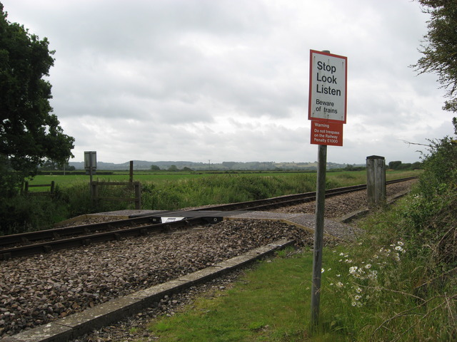
We don't yet have any user-contributed photos of Sutton Level Crossing.