Latitude: 53.7471 / 53°44'49"N
Longitude: -0.7469 / 0°44'48"W
OS Eastings: 482736
OS Northings: 428585
OS Grid: SE827285
Mapcode National: GBR RT73.3H
Mapcode Global: WHFDF.H2KR
Pluscode: 9C5XP7W3+R7
What3Words: covertly.crescendo.animated
Is the location marker in the wrong place? You can help fix that!
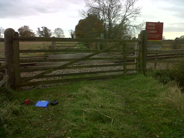
We don't yet have any user-contributed photos of Talbot Farm Level Crossing.