Latitude: 51.1247 / 51°7'28"N
Longitude: -1.727 / 1°43'37"W
OS Eastings: 419198
OS Northings: 136190
OS Grid: SU191361
Mapcode National: GBR 50R.G5N
Mapcode Global: VHC31.0ZVQ
Pluscode: 9C3W47FF+V5
What3Words: searches.dialect.lurching
Is the location marker in the wrong place? You can help fix that!
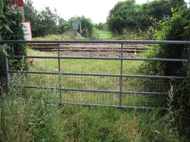
We don't yet have any user-contributed photos of Targetts Level Crossing.