Latitude: 56.4418 / 56°26'30"N
Longitude: -3.1127 / 3°6'45"W
OS Eastings: 331492
OS Northings: 728286
OS Grid: NO314282
Mapcode National: GBR VG.N0WX
Mapcode Global: WH6QB.5C00
Pluscode: 9C8RCVRP+PW
What3Words: blanking.lavender.weeks
Is the location marker in the wrong place? You can help fix that!
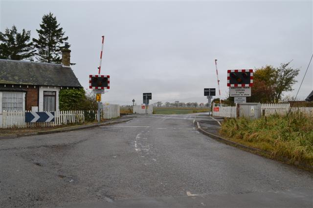
We don't yet have any user-contributed photos of Templehall Level Crossing.