Latitude: 53.5579 / 53°33'28"N
Longitude: -1.0856 / 1°5'8"W
OS Eastings: 460669
OS Northings: 407194
OS Grid: SE606071
Mapcode National: GBR NWV9.RB
Mapcode Global: WHFF1.9T9V
Pluscode: 9C5WHW57+4Q
What3Words: safety.friday.chained
Is the location marker in the wrong place? You can help fix that!
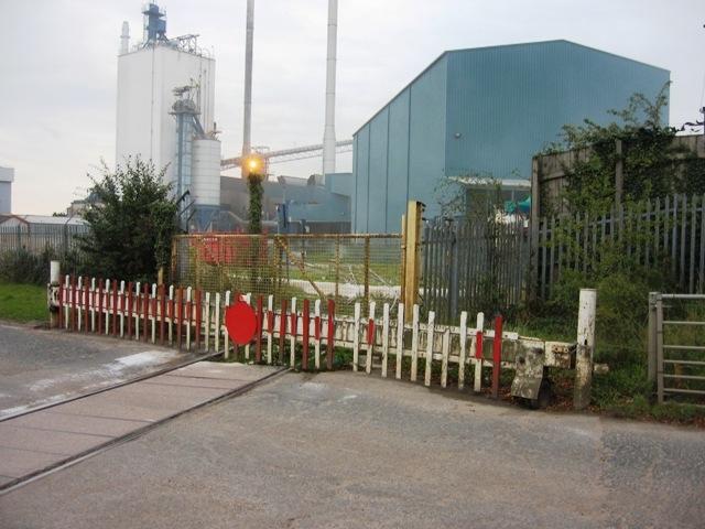
We don't yet have any user-contributed photos of Thorne Lane Level Crossing.