Latitude: 53.3344 / 53°20'3"N
Longitude: -1.224 / 1°13'26"W
OS Eastings: 451773
OS Northings: 382226
OS Grid: SK517822
Mapcode National: GBR MYWW.TF
Mapcode Global: WHDF0.5GD3
Pluscode: 9C5W8QMG+QC
What3Words: welfare.shudders.studs
Is the location marker in the wrong place? You can help fix that!
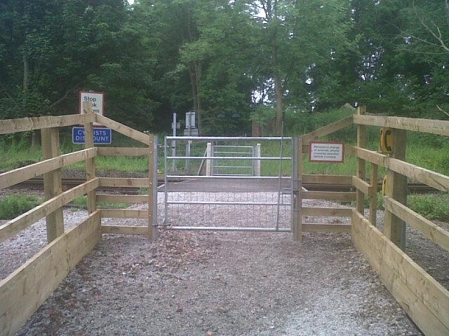
We don't yet have any user-contributed photos of Thorpe Salvin No.2 Level Crossing.