Latitude: 51.7297 / 51°43'47"N
Longitude: -2.2061 / 2°12'21"W
OS Eastings: 385863
OS Northings: 203465
OS Grid: SO858034
Mapcode National: GBR 1MS.F2W
Mapcode Global: VH94Y.QS3C
Pluscode: 9C3VPQHV+VH
What3Words: slopes.neckline.demand
Is the location marker in the wrong place? You can help fix that!
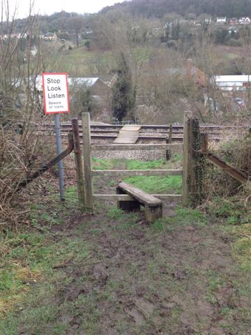
We don't yet have any user-contributed photos of Thrupp Level Crossing.