Latitude: 53.464 / 53°27'50"N
Longitude: -1.3058 / 1°18'20"W
OS Eastings: 446187
OS Northings: 396582
OS Grid: SK461965
Mapcode National: GBR MXBC.3Z
Mapcode Global: WHDDC.X6D9
Pluscode: 9C5WFM7V+HM
What3Words: blocks.absorbing.splat
Is the location marker in the wrong place? You can help fix that!
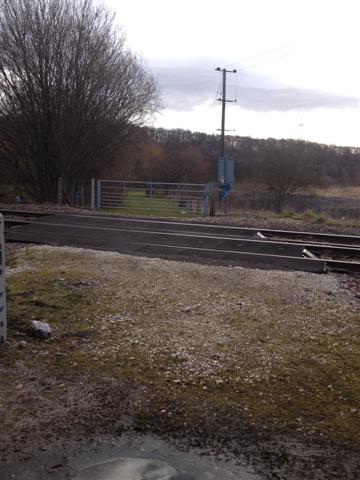
We don't yet have any user-contributed photos of Thrybergh Junction Level Crossing.