Latitude: 50.6723 / 50°40'20"N
Longitude: -2.1283 / 2°7'41"W
OS Eastings: 391031
OS Northings: 85850
OS Grid: SY910858
Mapcode National: GBR 21N.NS2
Mapcode Global: FRA 67F9.GP1
Pluscode: 9C2VMVCC+WM
What3Words: warp.petulant.minerals
Is the location marker in the wrong place? You can help fix that!
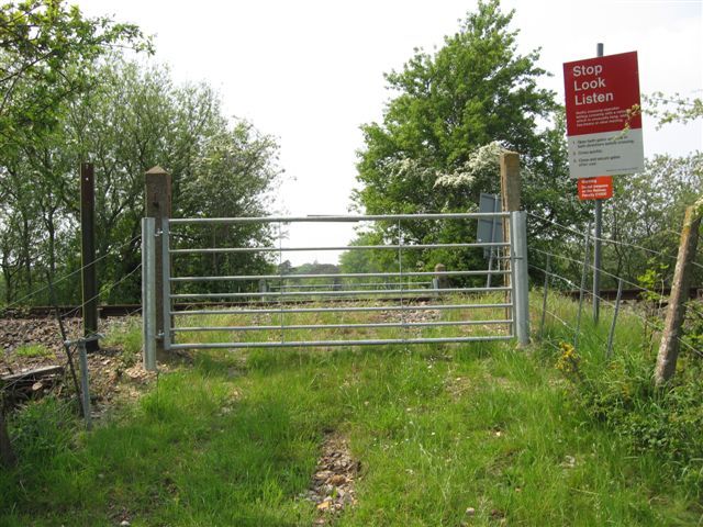
We don't yet have any user-contributed photos of Tidmore Level Crossing.