Latitude: 58.5527 / 58°33'9"N
Longitude: -3.5016 / 3°30'5"W
OS Eastings: 312712
OS Northings: 963712
OS Grid: ND127637
Mapcode National: GBR K6Q3.W4Q
Mapcode Global: WH5BR.59T8
Pluscode: 9CCRHF3X+38
What3Words: pursuing.greet.sketching
Is the location marker in the wrong place? You can help fix that!
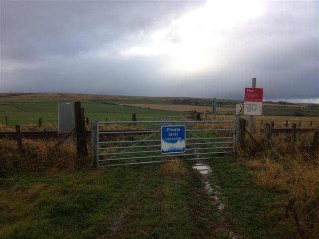
We don't yet have any user-contributed photos of Todholes 1 Level Crossing.