Latitude: 51.2014 / 51°12'5"N
Longitude: 0.1305 / 0°7'49"E
OS Eastings: 548944
OS Northings: 146843
OS Grid: TQ489468
Mapcode National: GBR LMH.PTD
Mapcode Global: VHHQ4.62WB
Pluscode: 9F32642J+H6
What3Words: angle.flock.head
Is the location marker in the wrong place? You can help fix that!
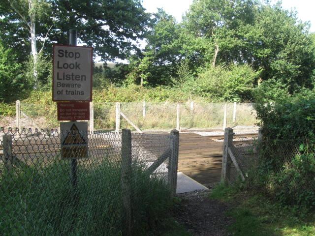
We don't yet have any user-contributed photos of Tolls Level Crossing.