Latitude: 51.2756 / 51°16'32"N
Longitude: 1.0473 / 1°2'50"E
OS Eastings: 612639
OS Northings: 157351
OS Grid: TR126573
Mapcode National: GBR TY1.TX4
Mapcode Global: VHLGM.36JG
Pluscode: 9F3372GW+6W
What3Words: wipes.mild.spots
Is the location marker in the wrong place? You can help fix that!
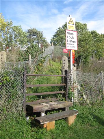
We don't yet have any user-contributed photos of Tonford Level Crossing.