Latitude: 51.5117 / 51°30'42"N
Longitude: -3.5165 / 3°30'59"W
OS Eastings: 294855
OS Northings: 180284
OS Grid: SS948802
Mapcode National: GBR HH.HS7P
Mapcode Global: VH5HL.089H
Pluscode: 9C3RGF6M+M9
What3Words: manages.material.brew
Is the location marker in the wrong place? You can help fix that!
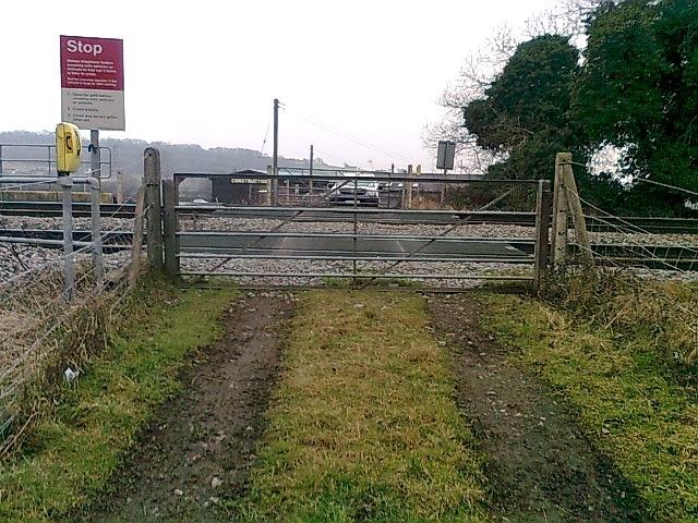
We don't yet have any user-contributed photos of Torcoed 2 Level Crossing.