Latitude: 50.6631 / 50°39'47"N
Longitude: -3.4709 / 3°28'15"W
OS Eastings: 296139
OS Northings: 85855
OS Grid: SX961858
Mapcode National: GBR P2.KXX0
Mapcode Global: FRA 37MB.1MG
Pluscode: 9C2RMG7H+6M
What3Words: necklaces.loosed.dubbing
Is the location marker in the wrong place? You can help fix that!
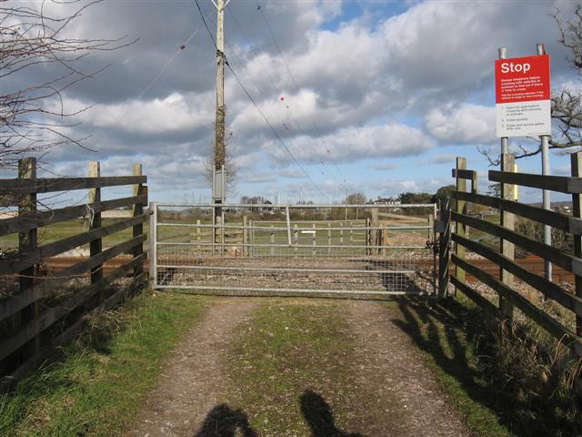
We don't yet have any user-contributed photos of Turf Lock Level Crossing.