Latitude: 53.3282 / 53°19'41"N
Longitude: -1.1873 / 1°11'14"W
OS Eastings: 454225
OS Northings: 381556
OS Grid: SK542815
Mapcode National: GBR NY4Y.RN
Mapcode Global: WHDF0.QLTX
Pluscode: 9C5W8RH7+73
What3Words: draw.steps.mural
Is the location marker in the wrong place? You can help fix that!
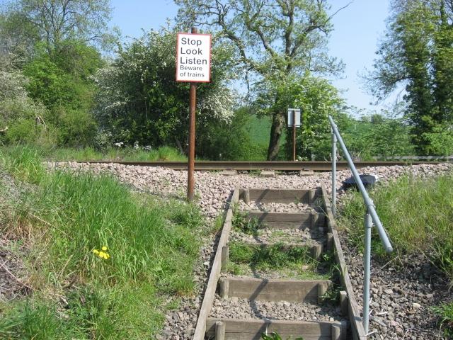
We don't yet have any user-contributed photos of Turner Wood Level Crossing.