Latitude: 52.8641 / 52°51'50"N
Longitude: -1.6823 / 1°40'56"W
OS Eastings: 421488
OS Northings: 329676
OS Grid: SK214296
Mapcode National: GBR 5D1.FHL
Mapcode Global: WHCFZ.486M
Pluscode: 9C4WV879+M3
What3Words: stilted.harps.silent
Is the location marker in the wrong place? You can help fix that!
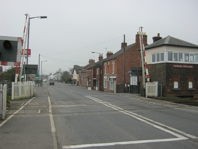
We don't yet have any user-contributed photos of Tutbury Level Crossing.